Learn how we are working to transform how we use and produce energy.
Intel from Above: Spotting Methane Super-Emitters with Satellites
Why we share this work for free
RMI is an independent nonprofit working to accelerate the clean energy transition. We publish research like this to inform decision-makers and drive real-world impact.
Our work is supported by philanthropy as well as partnerships, including fee-for-service engagements. This support makes it possible for us to share our independent insights for free.
If you find this work valuable, you can support it anytime.
Get more insights like this
Stay up to date with the latest research, analysis, and tools from RMI by opting in to receive occasional emails below. You’ll get new reports, event invitations, and practical insights to help us all accelerate the clean energy transition.
Loading form...
Your download should start automatically. If it doesn’t, click the download button below.
This work is made possible by philanthropy
RMI is a nonprofit supported by donors and partners. Philanthropy enables us to produce independent research and make resources like this freely available.
If you find this report valuable, please consider supporting our work. You can also explore how we partner with organizations to drive impact.
Jump to Section
Existing and soon-to-be-launched satellite technologies are enabling us to rapidly detect, locate, and quantify large industrial point sources of methane. This new climate intelligence is critical as the world looks to reduce methane — a super potent greenhouse gas — to hold global temperature rise to 1.5°C and meet the Global Methane Pledge.
This report offers readers a better understanding of how satellites contribute to global measurement of — and ultimately reduction of — large methane sources including oil and gas systems, coal mines, landfills, and livestock operations in the United States and globally. It references and builds upon a newly proposed scientific metric, called “completeness,” which allows for meaningful comparison across satellite platforms.
We assess the completeness of single satellites and constellations of multiple satellites and describe our Satellite Point Source Emissions Completeness Tool (SPECT), designed to encourage adoption of this metric to:
- raise public awareness about satellite capabilities,
- provide industry operators and policymakers a tool for evaluating technologies that can address their needs to find and fix leaks,
- improve methane accounting, and
- inform methane mitigation policy design.
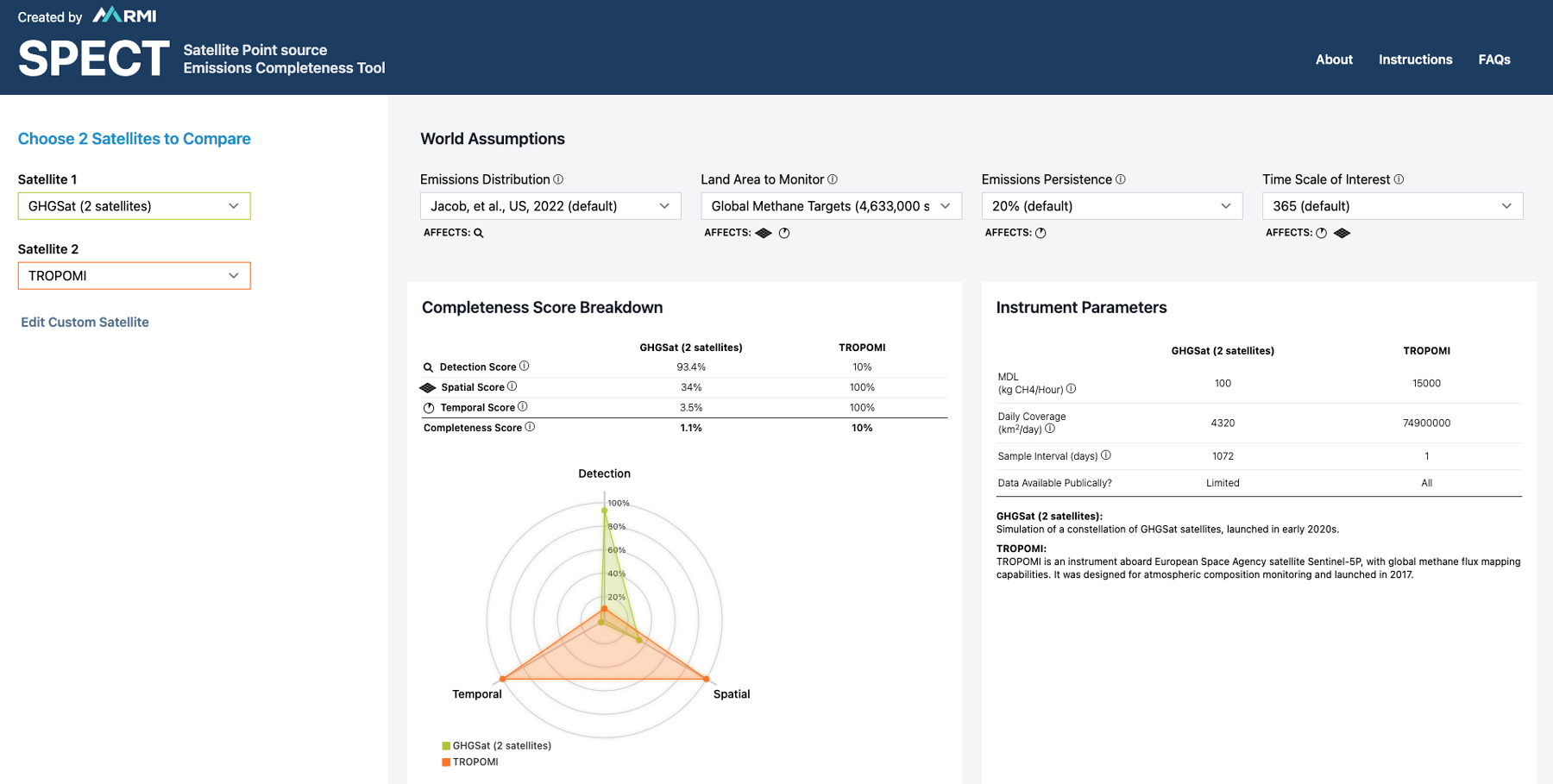
Visit the Satellite Point Source Emissions Completeness Tool
Authors

Sasha Bylsma
Senior Associate
Raghav Muralidharan
Senior Associate
Deborah Gordon
Senior Principal
Thomas Kirk
Frances Reuland
Related Insights


Help build the clean energy future. Donate today.
Independent research. Real-world solutions. Supported by donors.
RMI can pursue the highest-impact climate and energy solutions because we’re supported by people who believe change is possible. Every gift helps advance the work needed to make clean energy the default choice worldwide.
For other ways to give to RMI, including checks or gifts of stock, please visit Other Ways to Give.