

Learn how we are working to transform how we use and produce energy.
Indiana Landfill Solar Potential Map
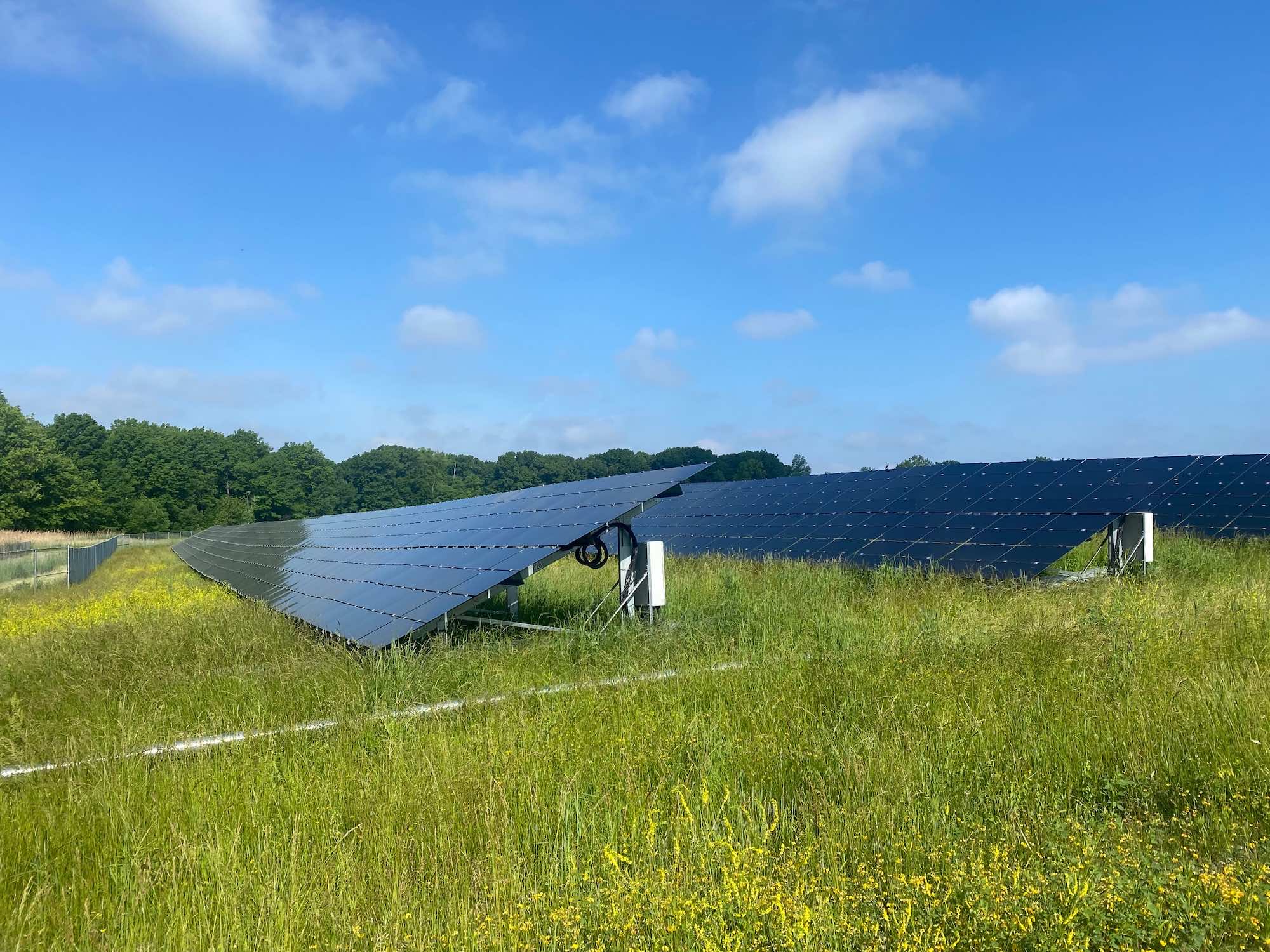
Deploying solar on closed landfills can help meet regional energy demand and put sites at the end of their life back into productive use. Closed landfills typically have direct sun exposure, existing site access, and limited redevelopment opportunities, making solar one of the few ways to productively reuse the land. RMI’s Indiana Landfill Solar Potential Map shows closed landfills in Indiana and is intended to support communities, utilities, and prospective developers in early-stage reuse planning.
Yet, despite these benefits and opportunities, landfill solar is not yet a common practice across the energy industry. To date, over 330 closed landfills now host solar in communities across the United States. However, as of October 2024, only 2 landfill solar projects have been built in Indiana, totaling 22 megawatts (MW) of power. If every landfill shown on this map were developed for solar energy, the potential exists to support an estimated 1,700 MW of solar — approximately equal to powering over 280,000 homes.
- Landfills on the map are colored by the estimated amount of solar capacity that could be installed. Sites with higher estimated potential are darker gold, as shown in the color bar at the top right of the map. Key factors for determining usable acreage for landfill solar include: total site acreage, overlapping floodplains (if any), and topography.
- Each circle on the map represents a single closed landfill. Users can zoom in on a site to see the actual landfill shape.
- Click on a landfill to learn more about that site, including its solar potential, county and electric utility details, and Indiana’s “Virtual File Cabinet”, which contains site-specific documents.
- Click on the layer button
 in the top right to select/de-select an overlay of the closed landfills and electric utility service territories by type in Indiana. Note that the layer toggled on most recently will be on top.
 - You can download the data used to build the map here.
Land Reuse: This map only shows landfills with no publicly planned reuse. Some landfills with a planned, concurrent reuse may still be suitable for solar, but these are not shown on the map at this time.
Estimated Useable Acreage is the total area of the site that is not in a floodplain or wetland and does not have a steep slope. Actual usable acreage may be greater (if landfill buffer or nearby rooftops are available) or smaller (if parts of the site are unsuitable for supporting solar due to physical, safety, policy, or financial constraints).
Estimated Viable Solar Capacity assumes that 70% of the Estimated Usable Acreage is developed for solar, assuming approximately 5 acres are needed to generate 1 MW of solar. This considers site-specific limitations resulting from topography, sloping, vegetation, and other factors.
Site-Specific Information is Available in the Virtual File Cabinet: This map does not include every factor for site suitability. Documents in the Virtual File Cabinet may provide additional details that can help determine site viability for solar development.
Energy Communities Investment Tax Credit Adder: These designations are based on the IRS‘ definition of energy communities, which includes 1) eligible brownfield sites (not mapped); 2) areas meeting federally –set thresholds on direct employment and tax revenue related to the extraction, processing, transport, or storage of fossil fuels and an unemployment rate at or above the national average unemployment rate for the previous year; and 3) census tracts (or directly adjoining census tracts) where a coal mine has closed after 1999, or where a coal-fired electric generating unit has been retired after 2009. Additional information on this tax credit incentive program can be found at: https://home.treasury.gov/policy-issues/tax-policy/data-transparency/energy-communities
Low Income Communities Investment Tax Credit Adder: Census tracts that meet the CDFI’s New Market Tax Credit Program’s threshold for Low Income. Additional information on this tax credit program can be found at https://www.irs.gov/credits-deductions/low-income-communities-bonus-credit.
To learn more about this tool or technical assistance available, contact Matthew Popkin (mpopkin@rmi.org) and Jacob Becker (jbecker@rmi.org).
This map was created by Jacob Becker, with contributions and support from Matthew Popkin, Tansy Massey-Green, Hannah Perkins, and Bill Brown (Indiana University Environmental Resilience Institute).
The map is supported by our partners at Kansas State University’s Technical Assistance to Brownfields program, who provide technical assistance to communities across US EPA Regions 5-8 and for Tribal communities nationally.

- County Boundaries. Indiana Geographic Information Office. IndianaMap. IndianaMap.org. https://www.indianamap.org/
- Slope: Esri. WorldElevation/Terrain (ImageServer). ArcGIS REST Services Directory. https://elevation.arcgis.com/arcgis/rest/services/WorldElevation/Terrain/ImageServer
- Floodplain: FEMA. The National Flood Hazard Layer (NFHL). https://www.fema.gov/flood-maps/national-flood-hazard-layer
- Utility Service Territories and Transmission: EIA. Energy Atlas. atlas.eia.gov
- Landfill Data and Boundaries: Office of Land Quality, Indiana Department of Environmental Management
- US Census Census.gov
- National Energy Technology Laboratory, IRA Energy Community Data Layers, https://edx.netl.doe.gov/dataset/ira-energy-community-data-layers
- National Laboratory of the Rockies, Low-Income Communities Bonus Credit Program Layers, https://data.nlr.gov/submissions/315
Disclaimer: Neither RMI nor this mapping tool provide tax advice. This does not reflect the application of tax law provisions to a specific taxpayer’s situation.
Help build the clean energy future. Donate today.
Independent research. Real-world solutions. Supported by donors.
RMI can pursue the highest-impact climate and energy solutions because we’re supported by people who believe change is possible. Every gift helps advance the work needed to make clean energy the default choice worldwide.
For other ways to give to RMI, including checks or gifts of stock, please visit Other Ways to Give.